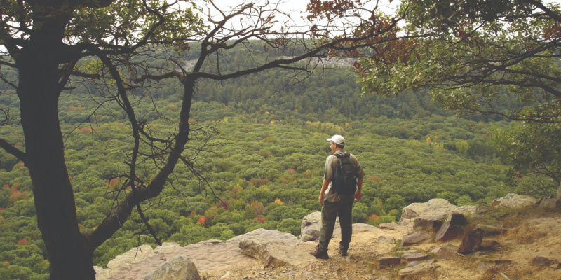
By Shelby Rowe Moyer | Photography by Kevin Revolinski
Kevin Revolinski is your go-to guy for Wisconsin hikes.
A Wisconsin native, Revolinski has written more than a dozen books on topics including guides to craft beer, tent camping and paddling in Wisconsin. A current Madison resident, he first moved to the capital city in 1992 — but left for a few years to teach abroad and in Texas — and has long admired the wildness of the Badger State.
“I love the variety of ecosystems we have here,” he says. “Thousands of miles of rivers and creeks; two Great Lakes and thousands of smaller ones; rare bogs and fens; and special State Natural Areas; and, of course, the dramatic landscape left behind by the glaciers of the Ice Age. And all of it is so accessible while sometimes seemingly so remote.”
The third edition of his “60 Hikes Within 60 Miles: Madison” guidebook recently published, with the inclusion of five new hikes. He wrote the first edition in 2007, and says each version includes hikes that are a “little bit better or less traveled — less familiar.”
A segment of the Ice Age Trail was lost to the public when the landowner took back an easement in the middle of it, but Revolinski said the new edition includes an even nicer trail loop near Merrimac, and it’s one of his favorites.
Sixty hikes are a lot of hikes, so if you’re looking for a pared-down list, here it is — Revolinski’s top five.
No. 1
“I love the 18-mile Ice Age Trail segment from Merrimac to Devil’s Lake, up over both bluffs, and then back over a moraine on its way to Parfrey’s Glen. It’s a demanding but rewarding trek, with the option to shorten it or take two days with some camping at the state park in the middle.”
Location: About 50 miles north and slightly west of Madison, across the Wisconsin River.
Difficulty: Moderate to difficult.
Distance: Up to 18.2 miles; one-way, but three miles on road creates a loop of 21.1 miles.
Traffic: Light, but potentially moderate to heavy with Devil’s Lake State Park bluff areas.
Wheelchair Access: Only a shoreline portion at Devil’s Lake State Park.
Pets: Leashed dogs allowed.
No. 2
“The trails of Cherokee Marsh are close to my home, and I am often out there weekly. In minutes I can get to the trail and be out there among cranes and deer.”
Note: There are two segments of this trail system: Cherokee Marsh North and Cherokee Marsh South. Both are relatively similar in terms of trail distance and foot traffic, although the south portion is not wheelchair accessible.
Location: Right at the city limits on the northeast side, at the end of Sherman Avenue. Distance: 3.2-mile loop.
Difficulty: Easy to moderate.
Traffic: Light
Wheelchair Access: Restrooms and some trails.
Pets: No dogs.
No. 3
“Rocky Arbor State Park has a certain Jurassic Park quality with the rock formations and abundant ferns. No dinosaurs, though. Use your imagination.”
Location: Fifty-nine miles north, at the northwest edge of Wisconsin Dells.
Difficulty: Moderate to difficult.
Distance: 1.1-mile loop.
Traffic: Light.
Wheelchair Access: None.
Pets: Leashed dogs.
No. 4
“Governor Dodge State Park has a large trail network, so I can hike as long as I want. Plus, the park’s Lost Canyon and waterfall are the highlights of a day there.”
Location: Just under 60 miles west of Madison in Dodgeville, off of Highway 23.
Difficulty: Moderate.
Distance: 8.8-mile loop.
Traffic: Light.
Wheelchair Access: .25-mile asphalt trail to Stephens Fall overlook.
Pets: Leashed dogs with off-leash pet swim areas.
No. 5
“Donald County Park is another great hike, with a trout stream, abundant wildflowers, some rock outcrops and, in fall, apple trees.”
Location: About 16 miles west of Madison, outside of Mount Horeb.
Difficulty: Moderate with a few steep areas.
Distance: 4.5-mile figure eight.
Traffic: Light.
Wheelchair Access: None.
Pets: Dogs require a daily or annual fee and must be on a leash.


